
Australia’s Cooper Basin is an important onshore petroleum and natural gas deposit, which makes it a frequent destination for Terrex Spatial, the surveying & GIS department within the Terrex Group. Throughout the Basin, there are many native burial sites and cultural artifacts which are protected by Australian law. When the company enters these areas, cultural and environmental concerns are a priority. Accidentally disturbing such areas with the company’s heavy equipment, including bulldozers and articulated vibrators, would result in heavy fines for the company’s clients, and could derail a project completely. They need a solid understanding of the terrain and topography, so they record the locations of obstacles in their mapping software on the Algiz 10X rugged tablet. These points are then uploaded into the corporate GIS system.


UMS Skeldar and MilDef team up to innovate drone control
The integration of drones into defence operations has been a game-changer, providing essential capabilities like surveillance and precision targeting without...

Handhelds rugged computers return to Patagonia
Rugged PDAs support explorers in Patagonia with navigation and research tools, facing harsh conditions and aiding in scientific discoveries.
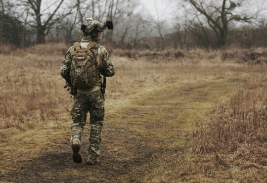
Dismounted soldier system – The future of infantry units
The dismounted soldier system allows infantry units to leverage the power of rugged devices to improve performance and survivability.

Nokia enhances enterprise solutions through rugged partnership
Nokia partners with Handheld Group and Askey to enhance enterprise solutions in wireless tech, aiming for industrial digital transformation.